
London...Paris...Franklin, Pennsylvania (a History Lesson)
“London – Paris – Franklin” is the snarky script on a local t-shirt. It’s meant to be humorous, as if this tiny town of 5,000 people snuggled in the Allegheny River valley in northwestern Pennsylvania could ever be as renowned as London or Paris. Yet, this tract of land encompassing barely five square miles was, in fact, the epicenter of grand geopolitical clashes fought at the behest of French and British monarchies vying for imperial possessions in the New World. Kings and Queens had their eyes on THIS piece of land. (To learn more about visiting Franklin, please check out my related post: “Tourist Guide to My Hometown in Franklin, Pennsylvania”.)
1650-1750

image credit: https://youtu.be/ys5pjg7WoHs
Of course, we are jumping ahead. Our story begins in the 1600s with the Eries, a mild, peaceful tribe of Native Americans who were settled on the lush green banks of Lake Erie and hunted along French Creek and the Allegheny River. History tells of a particularly strong tribal chieftain – her name was Yagowanrea – who ruled with grace and intelligence. Tribes surrounding the area known as “Wenango” became jealous of her leadership and began to make war against the Eries. The Iroquois and its band of Five (later Six) Nation tribes exterminated the Eries during the Beaver Wars. By 1653, the Erie tribe’s “council fires were extinguished”.
The Iroquois, Delaware, and Seneca tribes possessed the land at the confluence of the Allegheny River and French Creek when the first French Jesuit and Franciscan missionaries arrived in the late 1600s. They planted crosses and preached. More Frenchman followed, seeking and developing trade relations with the Native Americans into the early 1700s. It is said that the French approached trade relations with the Native people with “the largest professions of friendship to the best interest of the Indians”.

Britishman William Penn was granted a 45,000 square mile land charter in the New World from King Charles II in 1681 to create a safe haven for emigrating Quakers. While Penn continued to purchase additional land from various Native American tribes, by the mid-1700s, the Penn family owned only two-thirds of the land known today as Pennsylvania. The western portion remained up for grabs. In 1749, western Pennsylvania was still considered the wild western frontier, tamed by nobody but claimed by everyone.

French territory marker
In 1749, the French decided to stake their claims in this untamed territory. The French government sent an expedition outfitted by Canadian governor Gallissoniere and led by Captain Celoron of Montreal. The expedition included about 200 soldiers, 30 Iroquois and 25 Abenikas. They buried lead plates as evidence of land possession at certain points along the Allegheny River from Erie to Pittsburgh and then throughout the Ohio Valley region. One lead plate was buried in Franklin near Indian God rock on August 3, 1749.
Indian God rock, downriver from Franklin
1750-1765
The first white settler in the Venango County region was John Frazier, a Scottish trader. From his log cabin along the river on today’s Elk and 6th street, he happened to notice the French expedition. When the French began erecting Fort Machault in 1753 in today’s Franklin, Frazier informed “all traders” in the region that the French were making military preparations. Captain Phillippe Thomas Joncaire, a Frenchman adopted into the Seneca Nation, served as a trader, interpreter, and advisor. He settled himself comfortably into Frazier’s abandoned log cabin on Elk Street so he could oversee the fort construction.
Word about French activity in the region reached Virginia, where its Governor, Robert Dinwiddie, was an investor in a land speculation group called the Ohio Company. The British crown had granted the Ohio Company 200,000 acres in the disputed area, which they were expected to fortify and settle at their own expense. Investors in the Ohio Company stood to lose a lot of money if the French held their territory claims in the wilderness region. “It was a tangled web the French were weaving and it behooved the English authorities to be on the alert to avoid a French Empire forming in the West.”

A young George Washington, painted by Charles Wilson Peale
Governor Dinwiddie asked George Washington (yes, the GW!), who was the brother of a fellow land speculator, to travel north at the age of 21 on a cease and desist mission. George Washington met with Captain Joncaire in Frazier’s house in Franklin to issue a formal complaint about the French trespassing on “Virginian” soil. Joncaire humored him a bit and then sent George onwards to Fort LeBeouf in Waterford, a few miles further north.
Territorial disputes in the Allegheny and Ohio Valley areas triggered the French and Indian war against the British, with parent nations sending troops and supplies to support the military. The initial battle at Jumonville Glen occurred in 1754 when Virginia militiamen, led by George Washington, ambushed a French patrol.
The fighting thereafter was fierce and the skirmishes in the New World lit the fuse for the more expansive Seven Years War between France and Great Britain two years later. During the French and Indian war, the Native Americans in the area initially allied with the French to protect their trading relationships. During the course of the nine year war, the Iroquois Six Nations and some Cherokee were persuaded into neutrality by the 1758 British Treaty of Easton, which granted them land and other concessions.
Map of the French and Indian War
The French were simply outnumbered in the region by a significant factor. France had about 60,000 settlers in the New World, while the British colonies had over 2 million. The French eventually fell back to Fort Niagara, setting fire to their own Forts Machault and Presque Isle during their retreat in 1759. The British lost no time in erecting Fort Venango, just above the former site of the French fort.
The Treaty of Paris in 1763 officially ended both the Seven Years War and the French and Indian War. An era of British dominance outside of Europe began. France gave up much of their territorial possessions in the Mississippi and Ohio valley areas. Native Americans were excluded from settlement agreements; instead, the British treated Native Americans as conquerored people, claiming their land and forcing them to move westward.
https://thelastdiadoch.tumblr.com/post/144566309305/the-council-of
In 1763, feeling sidelined by post-war events, Ottowa Chief Pontiac formed a confederation of tribes whose mission was to annhiliate the white population. They “made a brave defense for what they called their homes”. Pontiac’s War was savage and bloody. In Wenango, formerly friendly Natives tricked the British into opening Fort Venango. Playing a game of ball near the fort, the ball was tossed behind its walls. When soldiers let them in to retrieve it, they massacred all men inside and tortured Lieutenant Gorden by “roasting him slowly over an open fire until he was relieved by death days later”. Then they burned the Fort. The land known as Wenango returned to its state of wilderness for another 25 years, “left to silence and savages”. During the intervening years, Pontiac’s alliance was crushed and the American colonies launched and won the Revolutionary War of Independence.
1787-1805
After General Cornwallis surrended at Yorktown in 1781 and the Treaty of Paris was ratified, British troops left American soil in 1783. After the Revolutionary War, individual family land grants, such as the vast territory owned by the William Penn family, became public state lands owned by the Commonwealth. In Pennsylvania, the government purchased all remaining Six Nations, Delaware, and Wyandot land claims in the northwest corner of the state. The Indians migrated westward, most leaving Pennsylvania.
The Commonwealth of Pennsylvania granted land to soldiers in accordance with military rank as a reward for participation in the Revolutionary War. Soldiers were free to settle or sell their land as they wished. Land speculators -- such as the Holland Land Company, Lancaster Land Company, and North American Land Company – also bought huge tracts of land to fund state coffers. The policy of these speculation companies was to enhance properties, entice settlement, and eventually sell 400-acre plots to settlers for more than the purchase amount. And so the “western” frontier beyond LeHigh valley was tamed.

Belmar Bridge, Franklin, PA
The story of Venango County resumes in 1787, when a military contingent from Pittsburgh was sent upriver to construct a fort for the protection of future settlers. Fort Franklin was built and occupied until 1796. Brave, hearty settlers trickled in, hacking out homesteads from just the raw materials around them. Some learned the language of the Seneca Nation, which still lived and traded in the area. Seneca Chief Cornplanter, whose father was a Dutch trader, was a friend of the whites and interceded to maintain good relations with the settlers.

Notable Indian Chiefs of Venango County include: Custaloga, Guyasutha, and Cornplanter
In 1796, a more permanent fort, the Old Garrison, replaced Fort Venango. During this time, General William Irvine and Andrew Ellicott arrived to layout a town plan for Franklin in Venango County. By 1805, a proper town was established with a population of five families.

Site of Old Garrison, American colonial fort
The town grew steadily, adding dry goods stores, a hotel, and denominational churches of all kinds, lawyer and press offices, hat and clothing shops, schools, banks and railroads. Within five years, the city had a population of 159 residents and the town continued to double in size each decade.
1859-1930
Oil derrick at Oil Creek State Park, PA
In 1859, Franklin attained international fame for the second time when it revealed the wealth beneath its soil – “great seas of oil and stores of gas awaiting the time of need when wood should become scarce.[1]” Until 1850, expensive sperm whale oil and tallow candles were the primary sources of lighting and heat in homes. New discoveries in the early 1850’s found kerosene to be a cheaper, cleaner alternative. In 1854, a friend gave New York lawyer George Bissel a bottle of crude oil from Titusville, Pennsylvania. Smelling an opportunity, George asked his well-connected chemist friend, Benjamin Silliman, to validate whether the crude oil could be converted to kerosene for use as an illuminator. Silliman conducted a series of tests and published a renowned paper explaining how distilled petroleum burned brighter than any fuel on the market and could also be used as a lubricant.
Bissel, Silliman and another friend, Jonathan Greenleaf Eveleth, formed the “Pennsylvania Rock Oil Company”. They traveled to Titusville, signed a royalty-free 99-year lease on land just north of Franklin along Oil Creek for $5,000 from Brewer, Watson & Company. They hired a local railroad conductor, Edwin Drake, to build a well to drill for petroleum, which was an unheard of proposition at a time when oil was skimmed off the top of water pools or syphoned off as a byproduct of salt mining. On August 27, 1859, Drake struck oil.
Oil derricks, just a handful of thousands that littered the landscape during the oil boom in the 1860s.
BOOM! Overnight, sleepy landowners became wealthy millionaires as a tsunami of prospectors swept into town, building derricks on leased farmland and dishing out royalties like candy. As one by-no-means-extraordinary example, the 500-acre Blood farm on Oil Creek sold for $550,000 in 1861 (nearly $17 million in today’s terms). In a separate $250,000 contract, the Blood family garnered 50% royalty rights on oil revenue drilled on five acres of their farm.
Within a year, the rivers and creeks in and around Franklin ran black with oil; production outpaced containment facilities and transportation; boats clogged the waterways. Fires raged; formerly lush green hills were transformed into muddy, barren utilitarian mounds upon which stood crowded wooden derricks, pipelines and barrels. Less than five years later, the frantic gambling subsided. By 1865, losing investors had shuffled out of the region in search of new opportunities in Ohio. Serious entrepreneurs got down to the business of refining and innovating.
The winners settled into new roles as political and business leaders and set about the task of constructing a city center. A particularly enterprising duo, Charles Miller and his brother-in-law, Joseph Sibley, had patented a differentied line of petroleum products. The Galena-Signal Oil Company, headquartered in Franklin, Pennsylvania, specialized in petroleum products for illuminating railway signals and superior valve lubricants.
Galena Oil headquarters in Franklin, PA
Miller and Sibley became town mayors, Congressional representatives, and horse racing breeders. Their families claimed the high ground overlooking the city, Galena Hill, and transformed it into Miller Park, with estate homes and gardens rivaling those in Europe. Mr. Miller’s son was the first man in Franklin to own a car, delivered personally in 1904 by his friend, Louis Chevrolet. Like most of the independent oil production companies in the area, the Galena-Signal Oil Company was eventually assimilated by John D. Rockefeller’s Standard Oil monopoly, but the families were paid handsomely in cash and stock.


Population in Franklin continued to increase, with a climactic 200% growth surge in 1870. As the county seat, the city of Franklin hired the architects Sloan and Hutton in Philadelphia to build its courthouse in the Italianate style in 1868.
In 1911, Mr. Sibley purchased 760 acres from Robert Lamberton for $1.00 and built River Ridge, a stately mansion that was the envy of all.
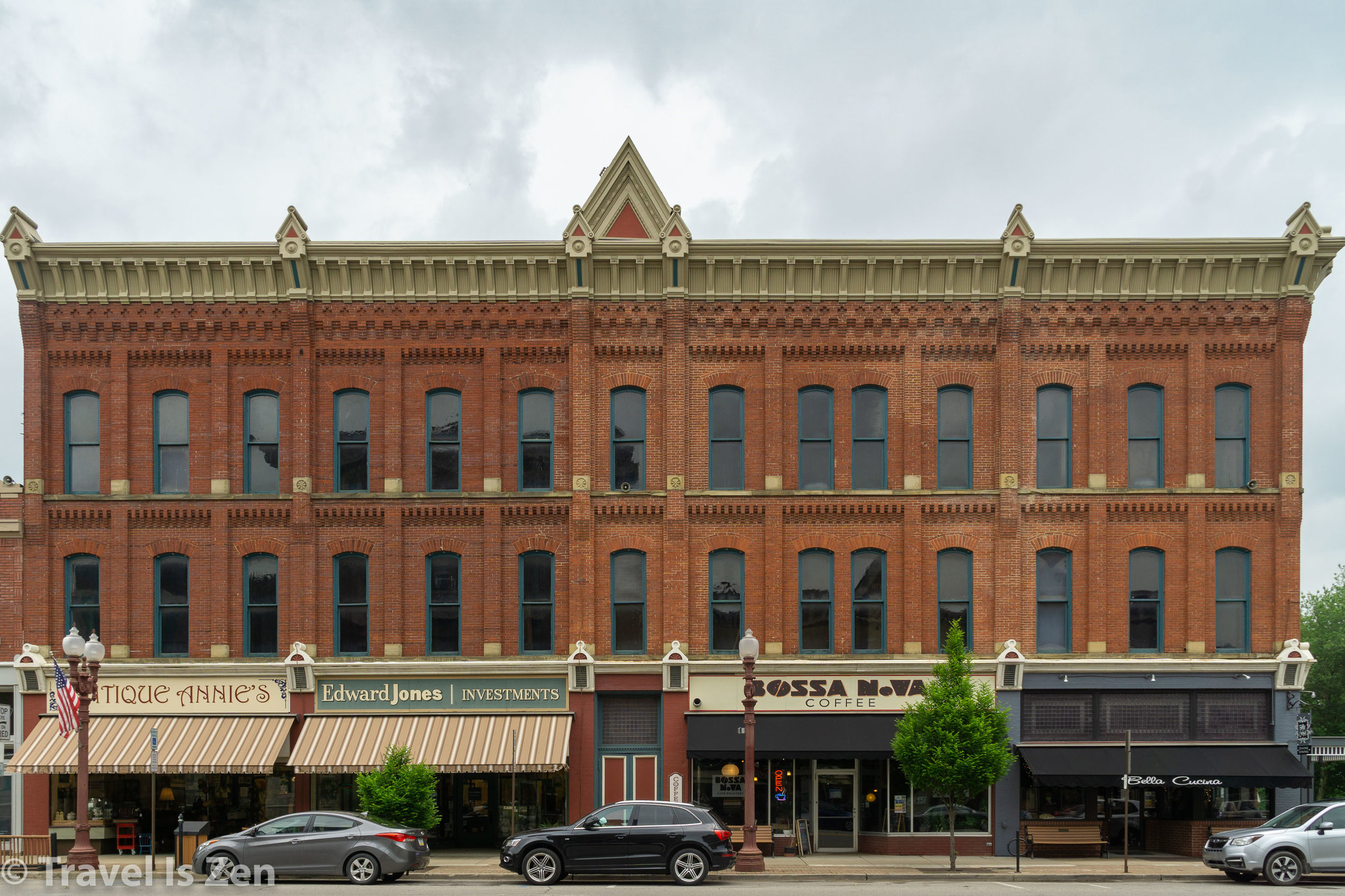
A walk through Franklin’s historic district is a well-preserved showcase of major architectural styles of the 19th and early 20th centuries: Greek and Gothic revivals, Federal, Italianate, Victorian Queen Anne and Colonial Revival. There’s even one example of a New England saltbox near the Samuel Justus trailhead.


After the oil boom had moved elsewhere, population continued to grow at a more modest pace of 25% for another half a century until 1930, when the city encompassed 10,254 residents. On the heels of the Great Depression, population slowly declined and has been dwindling ever since.
Modern History

Joy continuous coal digger
My family moved to Franklin from Pittsburgh in the mid-1970s. At that time, the major employers were Franklin Steel, Joy Manufacturing and Pennzoil. My father was a machinist at Joy Manufacturing, which produced mechanized coal-mining equipment. I can remember oversized flatbed semi trucks grinding up Elk and Liberty streets transporting massive orange diggers with monstrous drills that seemed more suited for lunar exploration than mere terrestial excavation. The Joy Manufacturing Company purchased its production facility in Franklin in 1924 from the Cobern Machine Tool Company. In its heyday, it employed thousands of local shiftworkers and had a sales presence in 15 countries. A hard-hitting recession in the 1980s forced the company to accept a $620 million leveraged buyout and hundreds of workers were laid off.
I spent my childhood and adolescent years in Franklin and I saw its gradual deterioration as the manufacturing base crumbled throughout the 1980s. A shiny new mall seven miles out of town nearly destroyed Franklin’s downtown commercial district. Hundreds of middle class families moved away in search of jobs. Its future looked bleak. When I left for college in 1990, I scarcely looked back, returning only once or twice a year to see my family.
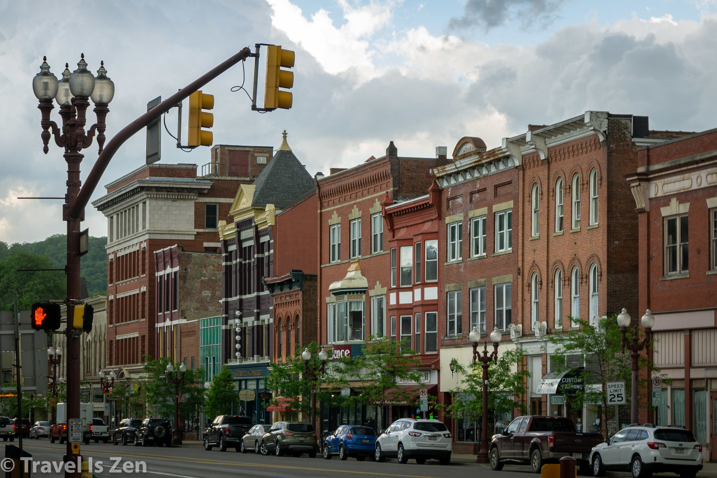
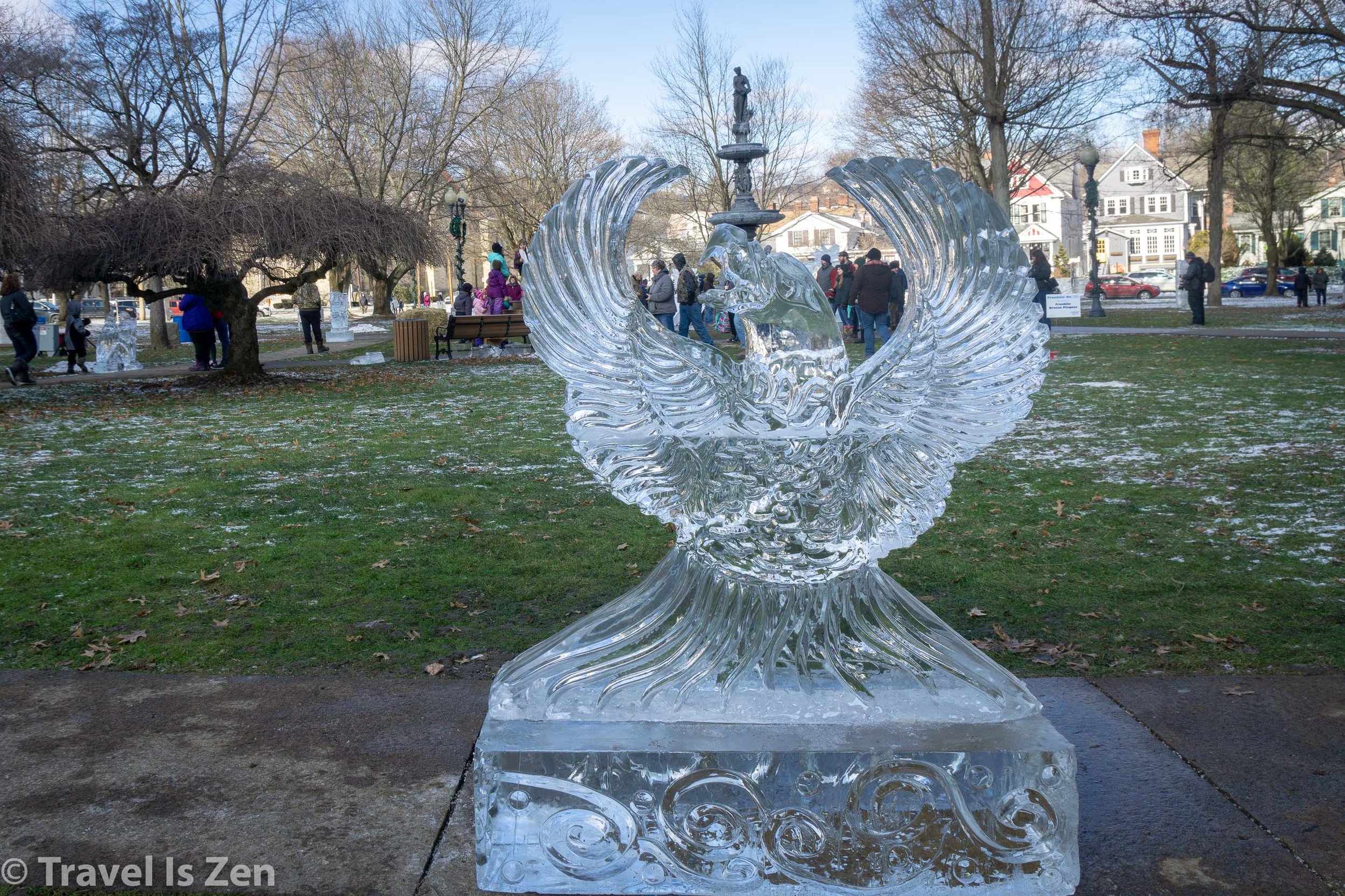
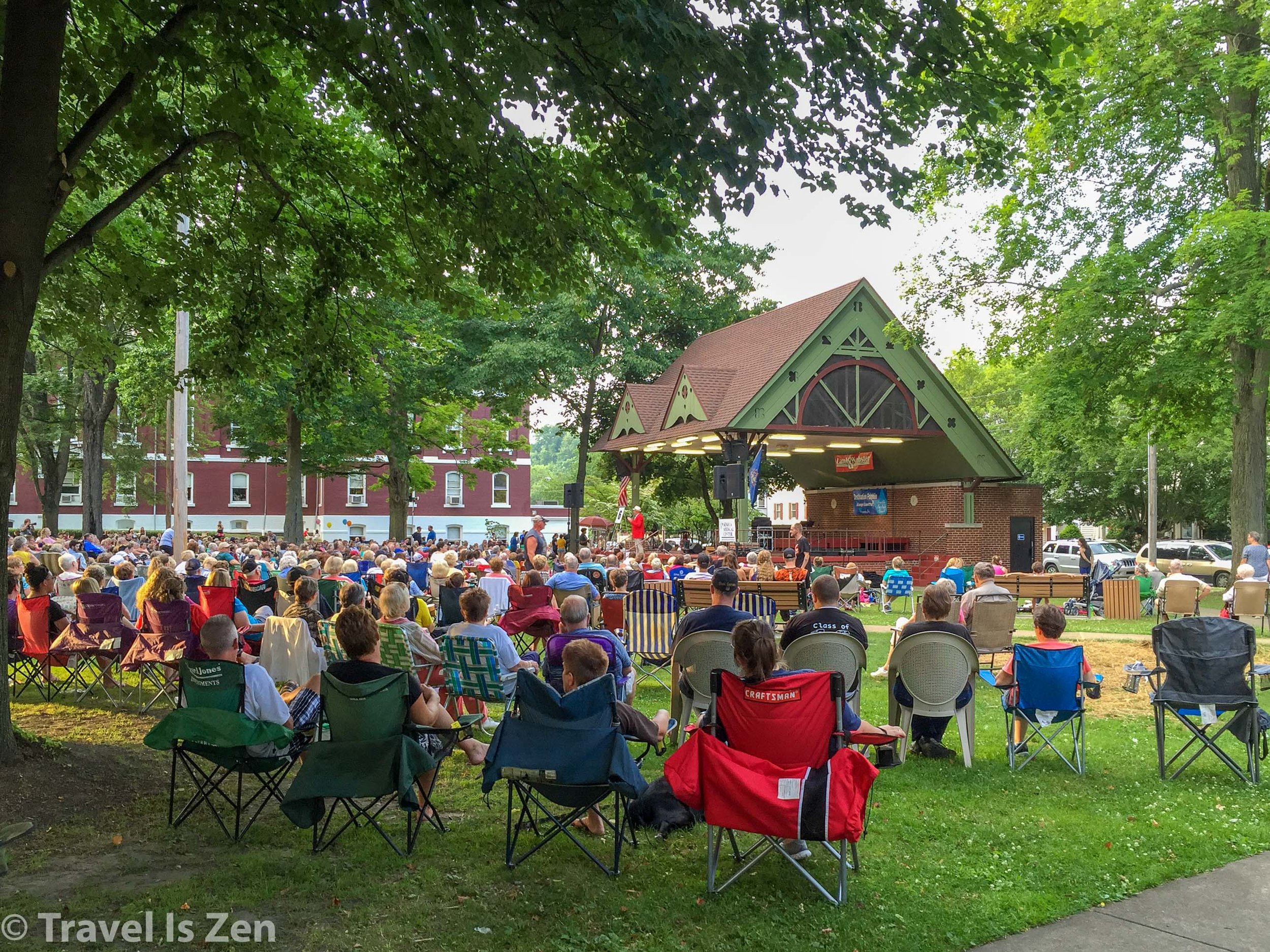
Today, thanks to the tireless work of city planners and volunteers with far more vision than me, Franklin is a beautiful, vibrant community once again. Care is taken to preserve its green spaces, architecture and history. Abandoned railroads have been converted to bike trails. There are numerous businesses specializing in four-season outdoor adventures, a handful of bed & breakfast homestays, a wine bar featuring locally produced wines, and a craft beer brewery with a rustic, sporty ambiance (try the Nitro Butter Pecan Brown Ale that tastes like ice-cream!). The town has a museum, bookstore and library. Parks are meticulously maintained and monthly festivals create a sense of community and belonging.
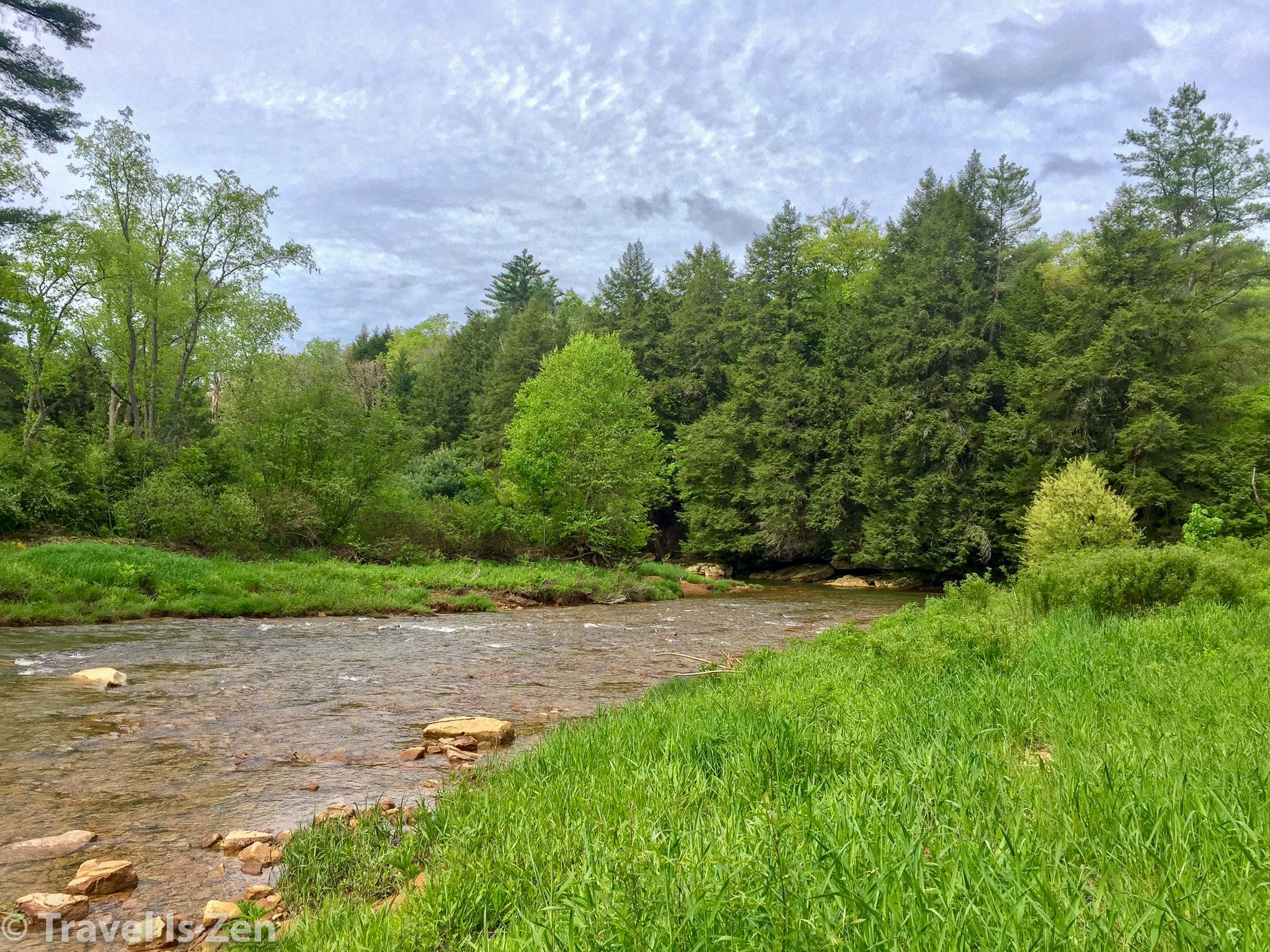
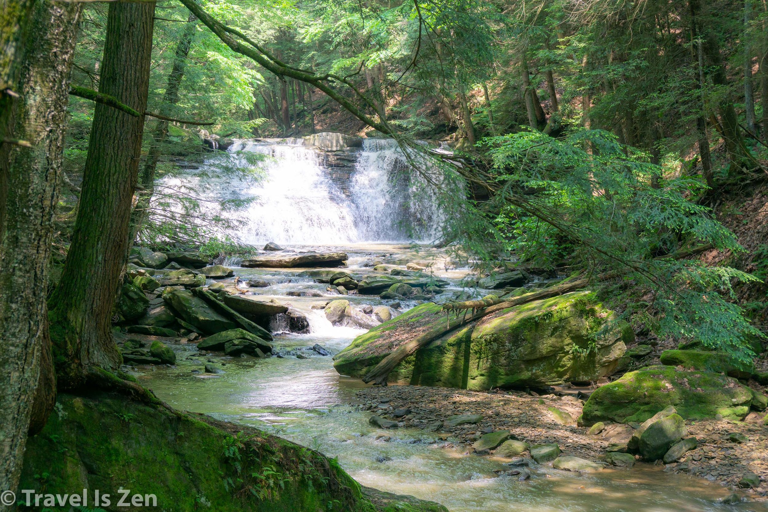
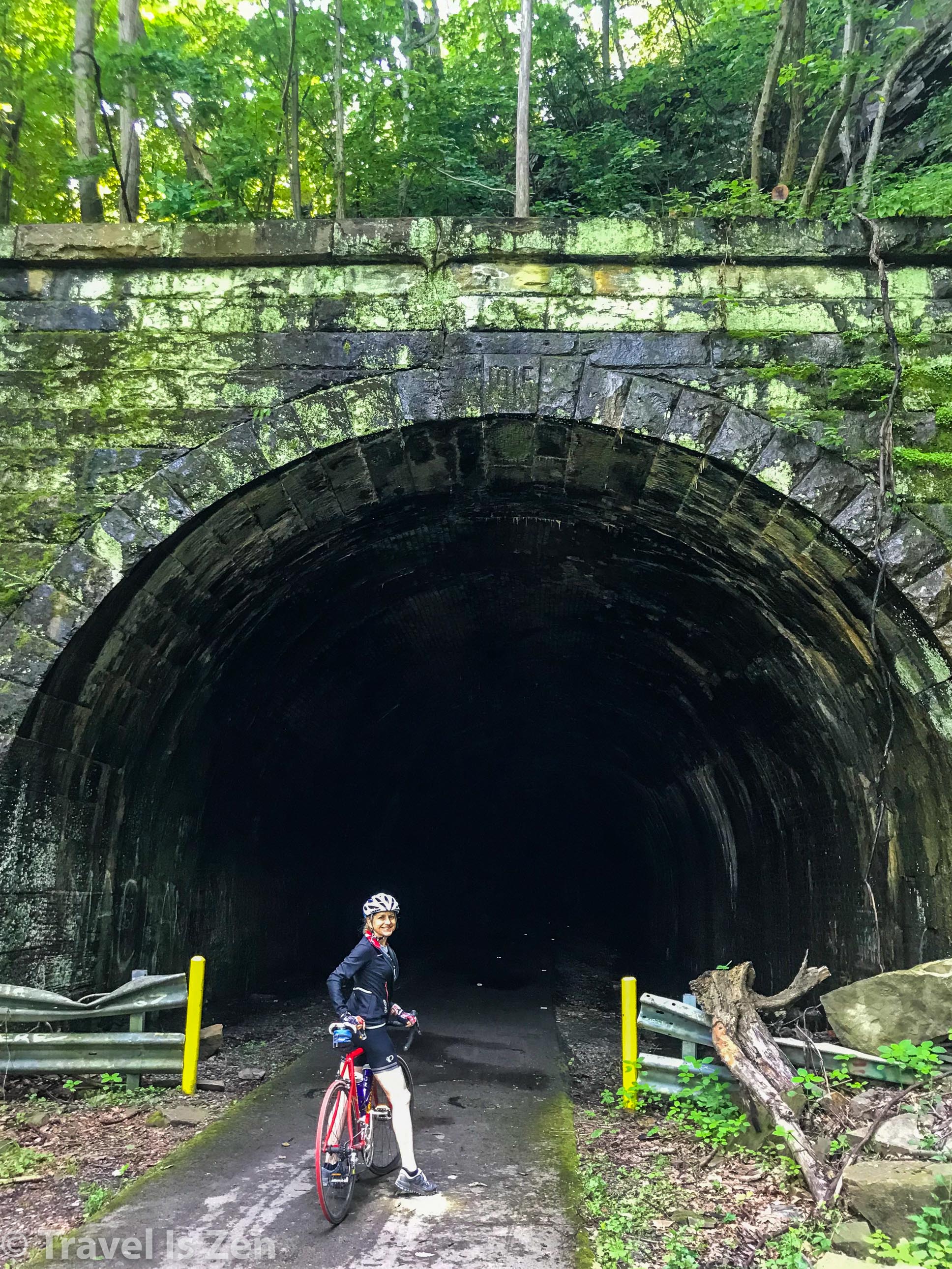
There is something for any outdoor lover. A quick jaunt down the bike trail puts hikers on the North Country Trail, which runs 4,700 miles from Vermont to North Dakota. Cyclists can bike to Drake’s Well or south to Foxburg wineries (and soon, all the way to Pittsburgh and onward to Washington D.C.!). Water enthusiasts can kayak, canoe, fish, or simply float lazily down the river on an inner tube, listening to birds chirping and the hum of circadas. In the winter, snowshoes or a pair of cross-country skis are all you need to enjoy the snow-covered trails. On rainy days, DeBence’s Antique Music World, with over 100 rare mechanical musical instruments (music boxes, nickelodeons, player pianos, band organs and more) is a fun way to spend an afternoon. To learn more about visiting Franklin, please check out my related post: “Tourist Guide to My Hometown in Franklin, Pennsylvania”. You can also download this post as a free ebook.
NOTE: Inspiration and research for this post was derived in large part on a wonderful book written in 1890 titled: History of Venango County, It’s Past and Present. You can browse the book in hardcopy at the Franklin library or read it online: https://archive.org/details/historyofvenango00bell/
Are you a history buff? Have any other tidbits to share about the history of Franklin or Venango Country? Share your comments below or tag us on social media (Instagram) @travel.is.zen or (Twitter) @TravelisZen.


